The Dig · Declassified
Psychic sketched a Soviet crane from coordinates alone, CIA files claim
A famous STAR GATE anecdote holds up less well the closer you read the file.
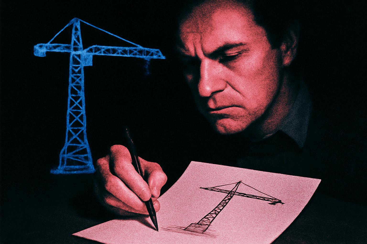
The claim: in 1974, Stanford Research Institute handed retired police officer turned remote viewer Pat Price a set of map coordinates. Nothing else. No target name, no photograph. He produced sketches of a large gantry structure. The site was Semipalatinsk, the USSR’s main nuclear test ground.
This became one of the founding legends of coordinate remote viewing, the technique that fed into the Army’s Grill Flame and later STAR GATE programme. The pitch is simple and seductive: blind coordinates in, correct hardware out. CIA analysts at the time noted the sketch resembled a crane structure later confirmed by satellite imagery.
The file does not settle the obvious questions. Was Price genuinely blind to the target, or had he worked adjacent projects where Semipalatinsk imagery already circulated? SRI’s own protocols in this period were loose; feedback and cueing between sessions were common, and judging matches happened after the fact, by people who already knew the answer. That is not proof of contact between mind and site. It is proof that a sketch can be made to fit a photograph once you have both in front of you.
Grade it a lead. The document supports that a session happened and that a sketch exists; it does not independently establish that geographic coordinates alone produced accurate intelligence. Until the raw transcripts, timing logs and blind-judging records surface, Semipalatinsk stays folklore with a paper trail, not a proven anomaly.
Source: The Dig / declassified CIA files source